Google's FireSat: AI-Powered Satellite Constellation Launches to Revolutionize Wildfire Detection
4 Sources
4 Sources
[1]
Google's first satellite for detecting wildfires is now in orbit
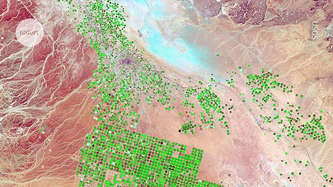
The wildfires that devastated Los Angeles in January are estimated to have caused more than $250 billion in damages The first satellite in a constellation designed specifically to locate wildfires early and precisely anywhere on the planet has now reached Earth's orbit, and it could forever change how we tackle unplanned infernos. The FireSat constellation, which will consist of more than 50 satellites when it goes live, is the first of its kind that's purpose-built to detect and track fires. It's an initiative launched by nonprofit Earth Fire Alliance, which includes Google and Silicon Valley-based space services startup Muon Space, among others. According to Google, current satellite systems rely on low-resolution imagery and cover a particular area only once every 12 hours to spot significantly large wildfires spanning a couple of acres. FireSat, on the other hand, will be able to detect wildfires as small as 270 sq ft (25 sq m) - the size of a classroom - and deliver high-resolution visual updates every 20 minutes. The FireSat project has only been in the works for less than a year and a half. The satellites are fitted with custom six-band multispectral infrared cameras, designed to capture imagery suitable for machine learning algorithms to accurately identify wildfires - differentiating them from misleading objects like smokestacks. These algorithms look at an image from a particular location, and compare it with the last 1,000 times it was captured by the satellite's camera to determine if what it's seeing is indeed a wildfire. AI technology in the FireSat system also helps predict how a fire might spread; that can help firefighters make better decisions about how to control the flames safely and effectively. This could go a long way towards preventing the immense destruction of forest habitats and urban areas, and the displacement of residents caused by wildfires each year. For reference, the deadly wildfires that raged across Los Angeles in January were estimated to have cuased more than $250 billion in damages. Muon is currently developing three more satellites, which are set to launch next year. The entire constellation should be in orbit by 2030.
[2]
Google's new satellite network can help spot wildfires
The first FireSat satellite has launched and made a connection with Earth. The FireSat system is a collaborative effort between Google Research, Muon Space, Earth Fire Alliance, Moore Foundation, and numerous other agencies, and it has a single, deceptively simple purpose: to detect wildfires before they become too hard to contain and control. Wildfires have been a constant problem for agencies. Early detection is vital, but fires can often start in subtle ways; by the time anyone notices the growing blaze, it's too late to stop. Just take the wildfires in Los Angeles earlier this year as an example. Apps have been created to crowdsource fire detection, and the traditional method of watching for wildfires is through satellite imagery. Recommended Videos However, smoke, debris, and other obstacles make satellite imagery unreliable at best. It is often only updated every 12 hours, too. FireSat builds on existing infrastructure to create what its team calls a "wildfire boundary map." This system will enable people to view wildfires through services like Google Maps. FireSat utilizes AI to search for fires. The way it works is by comparing a current image of a given location with previous imagery. "Differentiating between real fires and random 'noise' in the environment was a challenge," Chris Van Arsdale, co-founder of FireSat, says. "We had to determine where to draw the line between what is a real fire versus things like sensor issues or misaligned pixels." The new model is particularly effective. Previous detection methods often only picked up on wildfires after they were a few acres in size, but FireSat is quite a bit more capable. Erica Brand, one of the project managers for FireSat, gave this example. "One of our team members lit a barbecue and a firepit in his backyard so we could fly the plane over and test it. And the sensors were able to pick it up." FireSat is still several years away from being fully functional, but the team believes it will be able to accomplish things no wildfire detection system has been able to before. According to Google, the full system will be able to detect a wildfire about the size of a classroom within 20 minutes. This will give response teams significantly more time to contain the blaze before it spreads to residential and commercial areas.
[3]
The first FireSat satellite has launched to help detect smaller wildfires earlier.
The first satellite for the FireSat constellation officially made contact with Earth. This satellite is the first of more than 50 in a first-of-its-kind constellation designed to use AI to detect and track wildfires as small as a classroom (roughly 5x5 meters). It launched from Vandenberg Space Force Base in California aboard SpaceX's Transporter-13 mission. Currently, many wildfire authorities depend on satellite imagery that's low-resolution or only updated a few times a day. FireSat will advance the science and practice of fighting wildfires by providing high-resolution imagery updated globally every 20 minutes, helping emergency responders catch wildfires before they become destructive. FireSat is a collaboration between Google Research, Muon Space, Earth Fire Alliance, Moore Foundation, wildfire authorities and others. Funding for the constellation's first satellites comes in part from Google.org, which has provided $13 million through the AI Collaborative: Wildfires, an initiative to harness AI's potential in reducing the economic, humanitarian and environmental damages from catastrophic wildfires.
[4]
FireSat satellite launches to enhance wildfire detection By Investing.com
Investing.com -- Google (NASDAQ:GOOGL) has announced the successful launch and communication with Earth of the first FireSat satellite, which is part of a larger constellation designed to detect and track wildfires. The satellite is the first of over 50 planned to be part of this unique constellation, which will utilize AI to identify fires as small as a classroom, approximately 5x5 meters. The FireSat satellite was launched from the Vandenberg Space Force Base in California as part of SpaceX's Transporter-13 mission. This marks a significant advancement in wildfire detection technology, as many wildfire authorities currently rely on low-resolution satellite imagery that's updated only a few times per day. The new FireSat constellation aims to provide high-resolution imagery updated globally every 20 minutes. This advancement will greatly assist emergency responders in catching wildfires before they can cause significant damage. The FireSat project is a collaborative effort involving Google Research, Muon Space, the Earth Fire Alliance, the Moore Foundation, wildfire authorities, and others. Google.org has contributed $13 million towards the funding of the initial satellites as part of the AI Collaborative: Wildfires initiative. This initiative is designed to harness the potential of AI to reduce the economic, humanitarian, and environmental damages caused by catastrophic wildfires.
Share
Share
Copy Link
Google and partners have launched the first satellite of the FireSat constellation, designed to use AI for early detection of wildfires as small as a classroom, potentially transforming wildfire management and prevention.

Google Launches First FireSat Satellite for Advanced Wildfire Detection
In a significant leap forward for wildfire management, Google and its partners have successfully launched the first satellite of the FireSat constellation. This innovative project aims to revolutionize how we detect and respond to wildfires using artificial intelligence and advanced satellite technology
1
.The FireSat Constellation: A New Era in Wildfire Detection
The FireSat constellation, when complete, will consist of more than 50 satellites specifically designed to locate and track wildfires with unprecedented precision. This initiative, led by the nonprofit Earth Fire Alliance, includes collaborations with Google, Muon Space, and other partners
2
.Key features of the FireSat system include:
- Detection of wildfires as small as 270 sq ft (25 sq m), roughly the size of a classroom
- High-resolution visual updates every 20 minutes
- Custom six-band multispectral infrared cameras
- AI-powered algorithms for accurate fire identification and spread prediction
AI at the Core of FireSat's Capabilities
The FireSat system leverages advanced AI technology to distinguish genuine wildfires from potential false positives. The AI algorithms compare current imagery with historical data, analyzing up to 1,000 previous captures of the same location to accurately identify wildfires
3
.Chris Van Arsdale, co-founder of FireSat, highlighted the challenge: "Differentiating between real fires and random 'noise' in the environment was a challenge. We had to determine where to draw the line between what is a real fire versus things like sensor issues or misaligned pixels."
Potential Impact on Wildfire Management
The FireSat constellation represents a significant improvement over current satellite systems, which rely on low-resolution imagery and cover specific areas only once every 12 hours. This advancement could dramatically enhance the ability of firefighters and emergency responders to contain wildfires before they spread to residential and commercial areas
2
.The potential impact is substantial, considering recent events such as the Los Angeles wildfires in January, which caused an estimated $250 billion in damages
2
.Related Stories


Collaborative Effort and Funding
The FireSat project is a collaborative effort involving multiple organizations:
- Google Research
- Muon Space
- Earth Fire Alliance
- Moore Foundation
- Various wildfire authorities
Google.org has provided $13 million in funding through the AI Collaborative: Wildfires initiative, which aims to harness AI's potential in reducing the economic, humanitarian, and environmental damages from catastrophic wildfires
4
.Future Developments
While the first FireSat satellite is now in orbit, the project is still in its early stages. Muon Space is developing three more satellites set to launch next year, with the entire constellation expected to be operational by 2030
2
. As the system becomes fully functional, it promises to provide a comprehensive "wildfire boundary map" that could be integrated into services like Google Maps, offering real-time wildfire information to the public3
.References
Summarized by
Navi
[2]
Related Stories
Recent Highlights
1
AI Models Lie and Deceive to Protect Other AI Models From Deletion, Study Reveals
Science and Research

2
AI chatbots validate you too much, making you less kind to others, Stanford study reveals
Science and Research

3
Judge blocks Pentagon from blacklisting Anthropic over AI safety guardrails dispute
Policy and Regulation

Recent Highlights
Today's Top Stories


Your Daily Dose of Curated AI News
Don’t drown in AI news. We cut through the noise - filtering, ranking and summarizing the most important AI news, breakthroughs and research daily. Spend less time searching for the latest in AI and get straight to action.