NASA's Dynamic Targeting: AI Empowers Satellites to Make Autonomous Decisions in Space
3 Sources
3 Sources
[1]
A satellite just used AI to make its own decisions in space
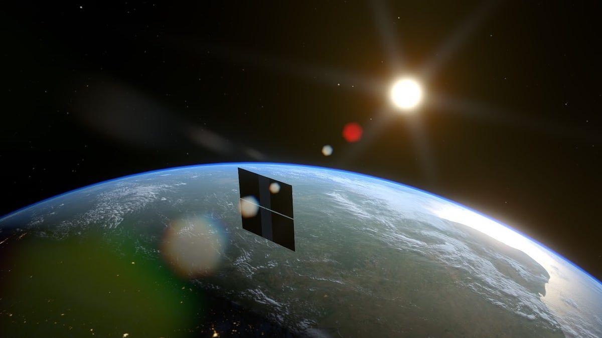
For the first time, a satellite has used onboard AI to autonomously decide where and when to capture a scientific image -- all in under 90 seconds, with no human input. The technology, called Dynamic Targeting, was tested by NASA's Jet Propulsion Laboratory (JPL) earlier this month. It was installed aboard a briefcase-sized satellite built and operated by UK-based startup Open Cosmos, and carried a machine learning processor developed by Dublin-based firm Ubotica. In the test, the satellite tilted forward to scan 500km ahead of its orbit and snapped a preview image. Ubotica's AI quickly analysed the scene to check for cloud cover. If the skies were clear, the satellite tilted back to take a detailed photo of the surface. If clouds obscured the view, it skipped the shot -- saving time, storage, and bandwidth. "If you can be smart about what you're taking pictures of, then you only image the ground and skip the clouds," said Ben Smith of JPL, which funds the Dynamic Targeting work. "This technology will help scientists get a much higher proportion of usable data." Brian Quinn, chief strategy officer at Ubotica, said that until now, satellites have merely acted as passive data collectors. They image whatever happens to be beneath them and beam all that data -- useful or not -- back to Earth. Scientists then sort through the backlog. "It takes post-processing, which could be days later, to say, 'Hey, there was a fire. Hey, there was a harmful algal bloom'," said Quinn in an article published on NASA's website earlier this year. NASA, Ubotica, and OpenCosmos say the system could also be expanded to spot wildfires, volcanic eruptions, and severe storms faster than ever before from space.
[2]
In 90 seconds, AI satellite thinks, tilts, and shoots without human help
Cloud cover can keep optical instruments on satellites from clearly capturing Earth's surface. In a first, a satellite used AI to spot, think, and act in under 90 seconds, without human help. The breakthrough came during a recent NASA test of a new technology called Dynamic Targeting, which equips orbiting spacecraft with the ability to autonomously analyze their surroundings and decide, on the fly, where to collect scientific data. The system allows satellites to look ahead along their orbital path, detect what's worth observing, like a clear sky or a natural disaster, and point their instruments accordingly.
[3]
AI system helps satellites make their own decisions - Earth.com
A new kind of onboard AI gives satellites the power to think for themselves - deciding in under 90 seconds whether a target on Earth is worth capturing. The system is called Dynamic Targeting, and it's designed to make space-based observations sharper, quicker, and more useful. This innovation was recently tested by scientists at NASA's Jet Propulsion Laboratory in Southern California, and the results show real promise. For the first time, a satellite orbiting Earth was able to look ahead along its flight path, analyze imagery using artificial intelligence, and then redirect its instruments without any input from people on the ground. Dynamic Targeting has been in development for over ten years. The core idea is simple: make spacecraft act less like passive cameras and more like quick-thinking observers. During a test in July, the system ran on a commercial satellite, with a clear goal - prove that spacecraft can pick better targets on their own. Instead of just snapping photos of whatever is below, Dynamic Targeting helps satellites avoid common issues like clouds and focus on what matters. In the future, the system could even track fast-changing events like wildfires, volcanic eruptions, and intense storms. "The idea is to make the spacecraft act more like a human: Instead of just seeing data, it's thinking about what the data shows and how to respond," said Steve Chien, principal investigator for the Dynamic Targeting project. "When a human sees a picture of trees burning, they understand it may indicate a forest fire, not just a collection of red and orange pixels. We're trying to make the spacecraft have the ability to say, 'That's a fire,' and then focus its sensors on the fire." In its first real-world test, Dynamic Targeting wasn't looking for fires or storms just yet. Its mission was to dodge something far more ordinary: clouds. For Earth-observing satellites, clouds are a major obstacle. They block the view up to two-thirds of the time. Most sensors simply collect whatever's in front of them - even if it's just cloud cover. That wastes valuable storage and processing time. Dynamic Targeting changes that. The system allows the satellite to scan 300 miles ahead to check for clear skies. If it sees clouds, the shot is canceled. If the coast is clear, it captures the image as it passes overhead. "If you can be smart about what you're taking pictures of, then you only image the ground and skip the clouds. That way, you're not storing, processing, and downloading all this imagery researchers really can't use," said Ben Smith, an associate with NASA's Earth Science Technology Office. Smith noted that the technology will help scientists get a much higher proportion of usable data. The latest test flew aboard CogniSAT-6, a compact CubeSat launched in March 2024. It's built and operated by Open Cosmos and carries a payload from Ubotica featuring an off-the-shelf AI processor. The processor was tested earlier on the International Space Station, using similar algorithms. Because CogniSAT-6 doesn't have a dedicated forward-facing imager, it tilts forward by 40 to 50 degrees to take a peek ahead. The satellite uses a camera that sees in both visible and near-infrared light. The onboard AI then analyzes that imagery to find clouds. If the view looks clear, the spacecraft turns back to look straight down and captures the scene below. The whole cycle - scan, analyze, aim, and shoot - happens while the satellite hurtles through space at 17,000 miles per hour. And it all wraps up in under 90 seconds. With the cloud-avoidance test complete, the team is already looking at what's next. Upcoming trials will flip the goal: instead of dodging clouds, the satellite will target them - particularly severe storm systems. Other tests will focus on heat anomalies like volcanic eruptions or active wildfires. Each task will use its own set of tailored algorithms. "This initial deployment of Dynamic Targeting is a hugely important step," Chien said. "The end goal is operational use on a science mission, making for a very agile instrument taking novel measurements." Ultimately, the technology could be used beyond Earth. The team actually drew inspiration from past work with ESA's Rosetta orbiter, which proved it was possible to track gas plumes from a comet without waiting for human commands. That same thinking now informs the Dynamic Targeting system. Back on Earth, the team is thinking about new applications. One possibility is using radar instead of optical sensors. Radar-equipped satellites with Dynamic Targeting could lock onto short-lived weather events like deep convective ice storms - rare and dangerous winter storms that are hard to catch with current systems. There's also a bigger vision: satellite teamwork. In one idea, a lead satellite would process images and spot interesting targets. Then it would alert a trailing satellite to zoom in for closer study. Eventually, a whole fleet of autonomous satellites could work together, sharing data in real time. Chien and the team at JPL are already preparing a test of that concept, called Federated Autonomous MEasurement, that is scheduled to begin later this year. -- - Like what you read? Subscribe to our newsletter for engaging articles, exclusive content, and the latest updates.
Share
Share
Copy Link
NASA successfully tests Dynamic Targeting, an AI system that allows satellites to autonomously decide where and when to capture scientific images in space, potentially revolutionizing Earth observation and space exploration.
NASA's Breakthrough in Satellite Autonomy
In a groundbreaking development, NASA's Jet Propulsion Laboratory (JPL) has successfully tested a new artificial intelligence system that allows satellites to make autonomous decisions in space. The technology, called Dynamic Targeting, enables satellites to analyze their surroundings and decide where and when to capture scientific images without human input, all within 90 seconds
1
.
Source: Earth.com
The Dynamic Targeting System
Dynamic Targeting represents a significant leap in satellite technology. It allows orbiting spacecraft to:
- Look ahead along their orbital path
- Detect valuable observation targets
- Autonomously direct their instruments for data collection
This system transforms satellites from passive data collectors into intelligent observers, capable of making real-time decisions about what to photograph
2
.The CogniSAT-6 Test
The recent test was conducted on CogniSAT-6, a compact CubeSat launched in March 2024. Built and operated by UK-based startup Open Cosmos, the satellite carried a machine learning processor developed by Dublin-based firm Ubotica
3
.During the test, the satellite demonstrated its ability to:
- Tilt forward to scan 500km ahead of its orbit
- Capture a preview image
- Analyze the scene for cloud cover using AI
- Make a decision to either take a detailed photo or skip the shot
This process, from scanning to shooting, occurs while the satellite travels at 17,000 miles per hour, completing the cycle in under 90 seconds
3
.
Source: Interesting Engineering
Related Stories
Implications and Future Applications
The successful implementation of Dynamic Targeting has far-reaching implications for Earth observation and space exploration:
-
Improved Data Quality: By avoiding cloud cover, the system ensures a higher proportion of usable data, saving time, storage, and bandwidth
1
. -
Rapid Event Detection: The technology could be expanded to quickly spot and monitor wildfires, volcanic eruptions, and severe storms from space
1
. -
Beyond Earth Applications: The team drew inspiration from past work with ESA's Rosetta orbiter, suggesting potential uses beyond Earth observation
3
. -
Satellite Teamwork: Future developments may include a fleet of autonomous satellites working together, sharing data in real-time
3
.
The Road Ahead
With the cloud-avoidance test complete, the NASA team is already planning future trials. These include targeting severe storm systems and heat anomalies like volcanic eruptions or active wildfires. Each task will use its own set of tailored algorithms
3
.
Source: The Next Web
Steve Chien, principal investigator for the Dynamic Targeting project, emphasized the significance of this development: "This initial deployment of Dynamic Targeting is a hugely important step. The end goal is operational use on a science mission, making for a very agile instrument taking novel measurements."
3
As this technology continues to evolve, it promises to revolutionize our ability to observe Earth and explore space, marking a new era in satellite capabilities and autonomous space operations.
References
Summarized by
Navi
[1]
[2]
Related Stories
German Researchers Achieve First Autonomous AI-Controlled Satellite Reorientation in Space
18 Nov 2025•Science and Research

NASA Employs AI and Machine Learning to Enhance Mars Exploration
17 Jul 2024

NASA's Perseverance Rover Completes First AI-Planned Drive on Mars Using Claude AI Models
31 Jan 2026•Technology

Recent Highlights
1
OpenAI Releases GPT-5.4, New AI Model Built for Agents and Professional Work
Technology

2
Anthropic sues Pentagon over supply chain risk label after refusing autonomous weapons use
Policy and Regulation

3
OpenAI secures $110 billion funding round as questions swirl around AI bubble and profitability
Business and Economy

Recent Highlights
Today's Top Stories


Your Daily Dose of Curated AI News
Don’t drown in AI news. We cut through the noise - filtering, ranking and summarizing the most important AI news, breakthroughs and research daily. Spend less time searching for the latest in AI and get straight to action.