AI-Powered Model Revolutionizes Tornado Damage Assessment and Recovery Prediction
2 Sources
2 Sources
[1]
Tech meets tornado recovery
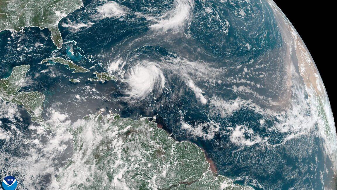
It started as a low, haunting roar building in the distance. It grew into a deafening thunder that drowned out all else. The sky turned an unnatural shade of green, then black. The wind lashed at trees and buildings with brutal force. Sirens wailed. Windows and buildings exploded. In spring 2011, Joplin, Missouri, was devastated by an EF5 tornado with estimated winds exceeding 200 mph. The storm caused 161 fatalities, injured over 1,000 people, and damaged and destroyed around 8,000 homes and businesses. The tornado carved a mile-wide path through the densely populated south-central area of the city, leaving behind miles of splintered rubble and causing over $2 billion in damage. The powerful winds of tornadoes often surpass the design limits of most residential and commercial buildings. Traditional methods of assessing damage after a disaster can take weeks or even months, delaying emergency response, insurance claims and long-term rebuilding efforts. New research from Texas A&M University might change that. Led by Dr. Maria Koliou, associate professor and Zachry Career Development Professor II in the Zachry Department of Civil and Environmental Engineering at Texas A&M, researchers have developed a new method that combines remote sensing, deep learning and restoration models to speed up building damage assessments and predict recovery times after a tornado. Once post-event images are available, the model can produce damage assessments and recovery forecasts in less than an hour. The researchers published their model in Sustainable Cities and Society. "Manual field inspections are labor-intensive and time-consuming, often delaying critical response efforts," said Abdullah Braik, coauthor and a civil engineering doctoral student at Texas A&M. "Our method uses high-resolution sensing imagery and deep learning algorithms to generate damage assessments within hours, immediately providing first responders and policymakers with actionable intelligence." The model does more than assess damage -- it also helps predict repair costs and estimate recovery times. Researchers can assess these timelines and costs in different situations by combining deep learning technology, a type of artificial intelligence, with advanced recovery models. "We aim to provide decision-makers with near-instantaneous damage assessment and probabilistic recovery forecasts, ensuring that resources are allocated efficiently and equitably, particularly for the most vulnerable communities," Braik said. "This enables proactive decision-making in the aftermath of a disaster." How It Works Researchers combined three tools to create the model: remote sensing, deep learning and restoration modeling. Remote sensing uses high-resolution satellite or aerial images from sources such as NOAA to show the extent of damage across large areas. "These images are crucial because they offer a macro-scale view of the affected area, allowing for rapid, large-scale damage detection," Braik said. Deep learning automatically analyzes these images to identify the severity of the damage accurately. The AI is trained before disasters by analyzing thousands of images of past events, learning to recognize visible signs of damage such as collapsed roofs, missing walls and scattered debris. The model then classifies each building into categories such as no damage, moderate damage, major damage, or destroyed. Restoration modeling uses past recovery data, building and infrastructure details and community factors -- like income levels or access to resources -- to estimate how long it might take for homes and neighborhoods to recover under different funding or policy conditions. When these three tools are combined, the model can quickly assess the damage and predict short- and long-term recovery timelines for communities affected by disasters. "Ultimately, this research bridges the gap between rapid disaster assessment and strategic long-term recovery planning, offering a risk-informed yet practical framework for enhancing post-tornado resilience," Braik said. Testing The Model Koliou and Braik used data from the 2011 Joplin tornado to test their model due to its massive size, intensity and availability of high-quality post-disaster information. The tornado destroyed thousands of buildings, creating a diverse dataset that allowed the model to be trained and tested across various levels of structural damage. Detailed ground-level damage assessments provided a reliable benchmark to check how accurately the model could classify the severity of the damage. "One of the most interesting findings was that, in addition to detecting damage with high accuracy, we could also estimate the tornado's track," Braik said. "By analyzing the damage data, we could reconstruct the tornado's path, which closely matched the historical records, offering valuable information about the event itself." Future Directions Researchers are working on using this model for other types of disasters, such as hurricanes and earthquakes, as long as satellites can detect damage patterns. "The key to the model's generalizability lies in training it to use past images from specific hazards, allowing it to learn the unique damage patterns associated with each event," Braik said. "We have already tested the model on hurricane data, and the results have shown promising potential for adapting to other hazards." The research team believes their model could be critical in future disaster response, helping communities recover faster and more efficiently. The team wants to extend the model beyond damage assessment to include real-time updates on recovery progress and tracking recovery over time. "This will allow for more dynamic and informed decision-making as communities rebuild," he said. "We aim to create a reliable tool that enhances disaster management efficiency and supports quicker recovery efforts." The technology has the potential to transform how emergency officials, insurers and policymakers respond in the crucial hours and days after a storm by delivering near-instant assessments and recovery projections. Funding for this research was provided by the National Science Foundation.
[2]
Researchers develop a new AI model to speed up tornado damage assessments and recovery
by Alyson Chapman, Texas A&M University College of Engineering It started as a low, haunting roar building in the distance. It grew into a deafening thunder that drowned out all else. The sky turned an unnatural shade of green, then black. The wind lashed at trees and buildings with brutal force. Sirens wailed. Windows and buildings exploded. In spring 2011, Joplin, Missouri, was devastated by an EF5 tornado with estimated winds exceeding 200 mph. The storm caused 161 fatalities, injured more than 1,000 people, and damaged and destroyed around 8,000 homes and businesses. The tornado carved a mile-wide path through the densely populated south-central area of the city, leaving behind miles of splintered rubble and causing more than $2 billion in damage. The powerful winds of tornadoes often surpass the design limits of most residential and commercial buildings. Traditional methods of assessing damage after a disaster can take weeks or even months, delaying emergency response, insurance claims and long-term rebuilding efforts. New research from Texas A&M University might change that. Led by Dr. Maria Koliou, associate professor and Zachry Career Development Professor II in the Zachry Department of Civil and Environmental Engineering at Texas A&M, researchers have developed a new method that combines remote sensing, deep learning and restoration models to speed up building damage assessments and predict recovery times after a tornado. Once post-event images are available, the model can produce damage assessments and recovery forecasts in less than an hour. The researchers published their model in the journal Sustainable Cities and Society. "Manual field inspections are labor-intensive and time-consuming, often delaying critical response efforts," said Abdullah Braik, co-author and a civil engineering doctoral student at Texas A&M. "Our method uses high-resolution sensing imagery and deep learning algorithms to generate damage assessments within hours, immediately providing first responders and policymakers with actionable intelligence." The model does more than assess damage -- it also helps predict repair costs and estimate recovery times. Researchers can assess these timelines and costs in different situations by combining deep learning technology, a type of artificial intelligence, with advanced recovery models. "We aim to provide decision-makers with near-instantaneous damage assessment and probabilistic recovery forecasts, ensuring that resources are allocated efficiently and equitably, particularly for the most vulnerable communities," Braik said. "This enables proactive decision-making in the aftermath of a disaster." Remote sensing uses high-resolution satellite or aerial images from sources such as NOAA to show the extent of damage across large areas. "These images are crucial because they offer a macro-scale view of the affected area, allowing for rapid, large-scale damage detection," Braik said. Deep learning automatically analyzes these images to identify the severity of the damage accurately. The AI is trained before disasters by analyzing thousands of images of past events, learning to recognize visible signs of damage such as collapsed roofs, missing walls and scattered debris. The model then classifies each building into categories such as no damage, moderate damage, major damage, or destroyed. Restoration modeling uses past recovery data, building and infrastructure details and community factors -- like income levels or access to resources -- to estimate how long it might take for homes and neighborhoods to recover under different funding or policy conditions. When these three tools are combined, the model can quickly assess the damage and predict short- and long-term recovery timelines for communities affected by disasters. "Ultimately, this research bridges the gap between rapid disaster assessment and strategic long-term recovery planning, offering a risk-informed yet practical framework for enhancing post-tornado resilience," Braik said. Testing the model Koliou and Braik used data from the 2011 Joplin tornado to test their model due to its massive size, intensity and availability of high-quality post-disaster information. The tornado destroyed thousands of buildings, creating a diverse dataset that allowed the model to be trained and tested across various levels of structural damage. Detailed ground-level damage assessments provided a reliable benchmark to check how accurately the model could classify the severity of the damage. "One of the most interesting findings was that, in addition to detecting damage with high accuracy, we could also estimate the tornado's track," Braik said. "By analyzing the damage data, we could reconstruct the tornado's path, which closely matched the historical records, offering valuable information about the event itself." Future directions Researchers are working on using this model for other types of disasters, such as hurricanes and earthquakes, as long as satellites can detect damage patterns. "The key to the model's generalizability lies in training it to use past images from specific hazards, allowing it to learn the unique damage patterns associated with each event," Braik said. "We have already tested the model on hurricane data, and the results have shown promising potential for adapting to other hazards." The research team believes their model could be critical in future disaster response, helping communities recover faster and more efficiently. The team wants to extend the model beyond damage assessment to include real-time updates on recovery progress and tracking recovery over time. "This will allow for more dynamic and informed decision-making as communities rebuild," he said. "We aim to create a reliable tool that enhances disaster management efficiency and supports quicker recovery efforts." The technology has the potential to transform how emergency officials, insurers and policymakers respond in the crucial hours and days after a storm by delivering near-instant assessments and recovery projections.
Share
Share
Copy Link
Researchers at Texas A&M University have developed an AI model that combines remote sensing, deep learning, and restoration modeling to rapidly assess tornado damage and predict recovery timelines, potentially transforming disaster response efforts.

Innovative AI Model Speeds Up Tornado Damage Assessment
Researchers at Texas A&M University have developed a groundbreaking AI model that could revolutionize disaster response and recovery efforts. Led by Dr. Maria Koliou, the team has created a method that combines remote sensing, deep learning, and restoration models to rapidly assess building damage and predict recovery times after a tornado
1
2
.The Challenge of Traditional Damage Assessment
Tornadoes, with their devastating power, often cause damage that exceeds the design limits of most buildings. Traditional methods of assessing this damage can take weeks or even months, significantly delaying emergency response, insurance claims, and long-term rebuilding efforts
1
.The Power of AI in Disaster Response
The new AI model addresses these challenges by providing near-instantaneous damage assessments and probabilistic recovery forecasts. Once post-event images are available, the model can produce results in less than an hour, a stark contrast to the time-consuming manual field inspections
2
.How the Model Works
The model integrates three key components:
-
Remote Sensing: Utilizes high-resolution satellite or aerial images to provide a macro-scale view of the affected area
1
2
. -
Deep Learning: Automatically analyzes images to accurately identify and classify damage severity. The AI is pre-trained on thousands of images from past events
1
2
. -
Restoration Modeling: Uses historical recovery data, building details, and community factors to estimate recovery timelines under various conditions
1
2
.
Testing and Validation
The researchers used data from the 2011 Joplin, Missouri tornado to test their model. This EF5 tornado, with winds exceeding 200 mph, caused 161 fatalities and over $2 billion in damage, providing a diverse dataset for training and testing
1
2
.Related Stories
Key Findings and Future Directions
One interesting discovery was the model's ability to estimate the tornado's track by analyzing damage data, closely matching historical records
1
2
. The research team is now working to adapt the model for other types of disasters, such as hurricanes and earthquakes1
2
.Implications for Disaster Response
This AI model could be critical in future disaster response efforts, helping communities recover faster and more efficiently. By providing rapid damage assessments and recovery forecasts, it enables proactive decision-making and efficient resource allocation, particularly for vulnerable communities
1
2
.The researchers aim to extend the model's capabilities to include real-time updates on recovery progress and long-term tracking, further enhancing its utility in disaster management and community rebuilding efforts
1
2
.References
Summarized by
Navi
[1]
Related Stories
AI Accelerates Landslide Detection for Rapid Disaster Response
23 Jul 2025•Technology

MIT Scientists Develop AI Tool for Generating Realistic Future Flood Imagery
26 Nov 2024•Science and Research

Microsoft's Aurora AI: Revolutionizing Weather Forecasting and Environmental Predictions
20 May 2025•Technology

Recent Highlights
1
Google releases Gemma 4 with Apache 2.0 license, enabling unrestricted local AI on devices
Technology

2
AI Models Lie and Deceive to Protect Other AI Models From Deletion, Study Reveals
Science and Research

3
OpenAI closes $122 billion funding round amid fierce AI competition and profitability questions
Startups

Recent Highlights
Today's Top Stories


Your Daily Dose of Curated AI News
Don’t drown in AI news. We cut through the noise - filtering, ranking and summarizing the most important AI news, breakthroughs and research daily. Spend less time searching for the latest in AI and get straight to action.