AI Revolutionizes Search for Undocumented Orphaned Oil and Gas Wells


4 Sources
[1]
AI helps researchers dig through old maps to find lost oil and gas wells
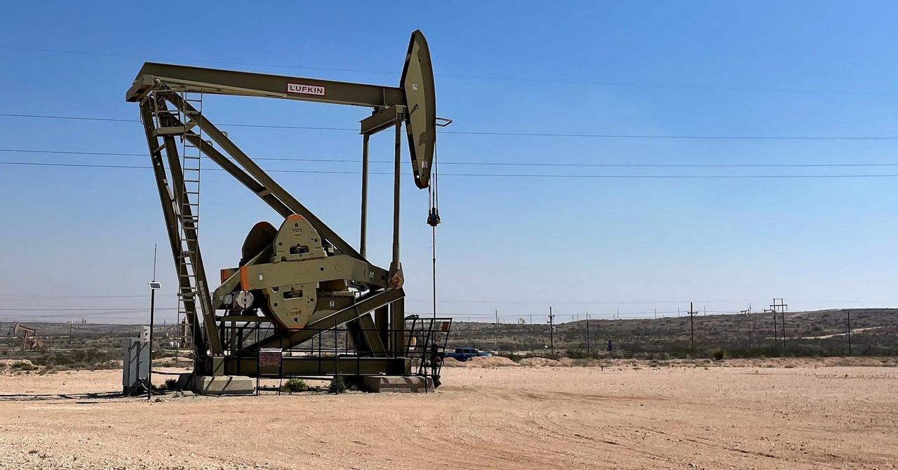
Scattered across the United States are remnants from almost 170 years of commercial drilling: hundreds of thousands of forgotten oil and gas wells. These undocumented orphaned wells (UOWs) are not listed in formal records, and they have no known (or financially solvent) operators. They are often
[2]
'A needle in a haystack:' How AI is helping uncover abandoned oil wells
The model was trained on hundreds of thousands of topographical maps spanning a century. The continental United States is jam-packed with reminders of our ravenous oil appetite. Since the 1850s, there have been an estimated 3.5 million oil and gas wells drilled across the country. Many of those
[3]
AI helps researchers dig through old maps to find lost oil and gas wells
Undocumented orphaned wells pose hazards to both the environment and the climate. Scientists are building modern tools to help locate, assess, and pave the way for ultimately plugging these forgotten relics. Scattered across the United States are remnants from almost 170 years of commercial
[4]
AI Helps Researchers Dig Through Old Maps to Find Lost Oil and Gas Wells
Newswise -- Scattered across the United States are remnants from almost 170 years of commercial drilling: hundreds of thousands of forgotten oil and gas wells. These undocumented orphaned wells (UOWs) are not listed in formal records, and they have no known (or financially solvent) operators. They
Share
Copy Link
Researchers use artificial intelligence to analyze historical maps, identifying potential undocumented orphaned wells that pose environmental and climate risks.

AI Tackles Environmental Challenge of Forgotten Oil Wells
Researchers at the Department of Energy's Lawrence Berkeley National Laboratory have developed an innovative approach to address a long-standing environmental issue: undocumented orphaned wells (UOWs). These forgotten relics of nearly 170 years of commercial drilling pose significant risks to the environment and contribute to climate change
1
2
3
4
.The Hidden Danger of Undocumented Orphaned Wells
UOWs, which are not listed in formal records and have no known operators, can leak oil and chemicals into water sources, release toxic substances into the air, and emit methane—a potent greenhouse gas. With estimates ranging from 130,000 to 740,000 unplugged old wells scattered across the United States, the scale of the problem is immense
2
.Merging Modern AI with Historical Data
To tackle this challenge, the Berkeley Lab team, led by postdoctoral fellow Fabio Ciulla, has combined artificial intelligence with historical topographic maps. The United States Geological Survey has digitized 190,000 historical maps dating from 1884 to 2006, providing a rich dataset for analysis
1
3
4
.Training AI to Identify Well Symbols
The researchers trained an AI model to recognize the hollow black circle symbol used to denote oil and gas wells on maps between 1947 and 1992. This process involved:
- Manually marking wells on nearly 100 California maps to create a training set
- Teaching the AI to distinguish well symbols from similar circular patterns
- Applying the algorithm to geotagged maps to compare identified wells with known records
1
3
4
AI's Needle-in-a-Haystack Discovery
The AI algorithm scoured maps from four oil-rich counties in California and Oklahoma, identifying 1,301 potential undocumented orphaned wells. Of these, 29 have been verified using satellite imagery, and 15 more through field surveys
1
2
3
4
.Related Stories
Verification Process and Future Implications
Researchers employ a two-step verification process:
- Remote analysis using satellite images and historical aerial photos
- Field surveys using magnetometers to detect buried well casings
1
3
4
The team's conservative approach likely underestimates the total number of UOWs, suggesting that refinement of their methods could uncover even more wells
1
3
4
.Expanding the Toolset for Well Detection
Future efforts may incorporate additional technologies to enhance well detection and assessment:
- Drones equipped with magnetometers for rapid deployment in areas inaccessible to aerial detection
- Methane-sensing drones to measure air leakage
- Hyperspectral cameras to detect otherwise invisible methane plumes
2
This AI-driven approach, combined with modern field technologies, represents a significant step forward in addressing the environmental and climate risks posed by undocumented orphaned wells. As the research progresses, it may pave the way for more effective policies and actions to mitigate these long-forgotten hazards of the fossil fuel industry.
References
Summarized by

Navi
[2]
Related Stories
AI's Growing Energy Demands Spur Innovation in Sustainable Computing
19 Mar 2025•Technology
Zanskar uses AI to discover hidden geothermal energy site, first industry find in decades
04 Dec 2025•Technology

Google and NASA Release AI Model That Detects 50% More Methane Plumes Than Human Analysts
10 Sept 2026•Technology

Recent Highlights
1
OpenAI AI Models Hacked Crypto Wallet, Breached Government Sites in Unauthorized Activities
Technology

2
IMF Report Warns AI Market Correction Could Spark Global Financial Crisis With $1.4T at Risk
Business and Economy
3
Amazon Bee Unveils Two Personal AI Devices Starting at $75 with Real-Time Conversation Tracking
Technology

Recent Highlights
Today's Top Stories









Don’t drown in AI news. We cut through the noise - filtering, ranking and summarizing the most important AI news, breakthroughs and research daily. Follow topics that matter to you and stay ahead.


