Google Earth Unveils Time Travel Feature with Historical Imagery Dating Back to World War II


6 Sources
[1]
Google Earth will show historical imagery dating back to World War II
Google has just made the history and geography nerd in me very happy. The company has announced that Google Earth is getting historical imagery of areas through satellite and aerial captures dating back 80 years. Google previously released a Timelapse tool that shows satellite images from 1984 to
[2]
Google Earth lets you explore the past now, and Maps gets one of its biggest updates ever
Expect sharper images and better experiences with these updates, which include AI-enabled enhancements. Whether you're looking up the storefront of a specific restaurant or exploring a continent virtually, Google Maps and Google Earth are great tools for viewing a part of the world from your
[3]
Google Earth just updated Street View with a massive library of imagery from around the world
Key Takeaways Google Earth update allows time travel up to 80 years back with historical imagery, enhancing the user experience. A redesigned home screen and enhanced project tools simplify collaboration for teams and research groups. 80 new countries gain extensive Street View coverage with AI
[4]
Google Earth now lets you see how the world looked 80 years ago -- here's how
(Pictured) A Google Earth snapshot in 2018 on the left and 2023 on the right. Credit: Gogole According to Google, some new updates on the way to the company's satellite imagery platform Google Earth, will allow users to "travel back in time" and view satellite and aerial images that go as far back
[5]

Google Earth's Newest Historical Images Let You Take a Journey Through Time
This New Malware Uses a Unique Trick to Steal Your Google Account With its comprehensive aerial imagery and Street View, Google has completely disrupted the way we interact with maps. Now, thanks to better satellite resolution and artificial intelligence, Google has even more insight to offer into
[6]

Google Maps Updates Include Zapping Clouds and Haze With AI
Samantha Kelly is a freelance writer with a focus on consumer technology, AI, social media, Big Tech, emerging trends and how they impact our everyday lives. Her work has been featured on CNN, NBC, NPR, the BBC, Mashable and more. A handful of updates are coming to Google Maps and Google Earth,
Share
Copy Link
Google Earth introduces a groundbreaking "timelapse" feature, allowing users to explore historical satellite imagery from as far back as 1937. This update offers a unique perspective on global changes over time.

Google Earth's Revolutionary Time Travel Feature
Google Earth, the popular virtual globe application, has introduced a groundbreaking new feature that allows users to travel back in time and explore historical satellite imagery dating back to World War II. This significant update, announced by Google, brings a new dimension to how we perceive and study our planet's changes over the decades
1
.Exploring the Past with Timelapse
The new feature, aptly named "timelapse," enables users to view satellite imagery of any location on Earth from as far back as 1937. This vast temporal range covers nearly a century of our planet's history, offering unprecedented insights into urban development, environmental changes, and the effects of human activity on landscapes
2
.User-Friendly Interface and Accessibility
Google has designed the timelapse feature to be intuitive and easy to use. Users can access it through a dedicated button in the Google Earth interface, which opens up a slider for selecting different years. This simple yet powerful tool allows for seamless navigation through time, making it accessible to both casual users and researchers alike
3
.Comprehensive Coverage and Data Sources
The historical imagery comes from various sources, including satellite data, aerial photography, and images from NASA's Landsat program. Google has compiled this vast collection of data to create a comprehensive visual history of our planet. While the oldest images date back to 1937, most locations will have imagery available from around 1984 onwards, coinciding with the launch of NASA's Landsat program
4
.Applications and Significance
This new feature has far-reaching implications for various fields. Environmental scientists can track deforestation, urban planners can study city growth patterns, and historians can visualize the physical impact of historical events. For the general public, it offers a fascinating way to explore how familiar places have changed over time, from the growth of cities to the retreat of glaciers
5
.Related Stories

Integration with Google Maps
Alongside the Google Earth update, Google has also announced significant changes to Google Maps. The company is integrating more detailed street maps, indoor AR navigation, and eco-friendly routing options. These updates reflect Google's commitment to providing comprehensive and innovative mapping solutions across its platforms
2
.Privacy and Data Considerations
While the timelapse feature offers exciting possibilities, it also raises questions about privacy and data usage. Google has stated that they are committed to responsible data practices and will continue to blur out sensitive locations and private property as they do in their current imagery
1
.References
Summarized by

Navi
[3]
Related Stories
Google Earth AI Evolves: Gemini-Powered Geospatial Reasoning Tackles Climate Crises
23 Oct 2025•Technology
Google Maps Unveils AI-Powered Tools for Infrastructure Management and Urban Planning
10 Apr 2025•Technology
Google Earth integrates Nano Banana AI image generation for historical and urban visualizations
30 Jul 2026•Technology

Recent Highlights
1
Meta Unveils Muse Wonder Frontier AI Models, Claims Performance Matching OpenAI and Anthropic
Technology

2
IMF Report Warns AI Market Correction Could Spark Global Financial Crisis With $1.4T at Risk
Business and Economy
3
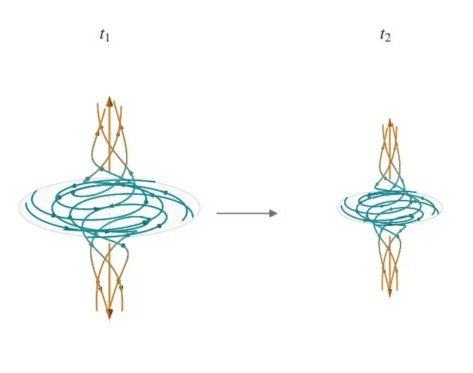
OpenAI Releases 722 AI-Generated Math Solutions, Triggering Existential Crisis in Mathematics
Technology
Recent Highlights
Today's Top Stories










Don’t drown in AI news. We cut through the noise - filtering, ranking and summarizing the most important AI news, breakthroughs and research daily. Follow topics that matter to you and stay ahead.


