Smart Skies: Breakthrough in UAV Navigation for GPS-Denied Environments


2 Sources
[1]
Smart skies: New methods for UAVs to navigate where GPS fails
by Aerospace Information Research Institute,Chinese Academy of Sciences Navigating drones in environments without reliable Global Positioning System (GPS) signals remains a significant challenge for modern aerospace technology. A new study addresses methods for Unmanned Aerial Vehicle (UAV)
[2]
Smart Skies: New Methods for UAVs to Navigate Where GPS Fails | Newswise
Newswise -- Global Navigation Satellite Systems (GNSS), such as Global Positioning System (GPS) , are fundamental for Unmanned Aerial Vehicle (UAV) navigation, but their effectiveness diminishes in urban canyons, indoor spaces, or hostile environments where signals are obstructed or jammed.
Share
Copy Link
A comprehensive review by researchers at Prince Sultan University explores new methods for UAV navigation in GPS-denied areas, emphasizing the potential of hybrid approaches and multi-sensor fusion for reliable drone operations.

Addressing the Challenge of GPS-Denied Navigation
Unmanned Aerial Vehicles (UAVs) have become increasingly important in various sectors, but their reliance on Global Positioning System (GPS) signals poses significant challenges in certain environments. A groundbreaking study published in Satellite Navigation on April 7, 2025, by researchers from Prince Sultan University, addresses this critical issue by exploring new methods for UAV navigation in GPS-denied areas
1
.The research team, led by Dr. Imen Jarraya, conducted a comprehensive review of 132 papers, focusing on both absolute and relative localization techniques. Their work highlights the potential of vision-based systems and emphasizes the importance of hybrid approaches that integrate various sensors and algorithms
2
.Key Findings and Methodologies
The study examines two primary methods for UAV navigation in GPS-denied environments:
- Absolute localization: Utilizes pre-mapped terrain data (e.g., TERCOM and DSMAC)
- Relative localization: Employs methods like SLAM (Simultaneous Localization and Mapping) and visual-inertial odometry
While absolute methods face limitations in featureless environments, relative techniques offer adaptability but require significant computational resources. The research emphasizes the potential of vision-based systems, particularly when enhanced with AI for feature recognition, though lighting conditions remain a challenge
1
.The Promise of Sensor Fusion and Hybrid Approaches
A key finding of the study is the importance of sensor fusion in improving navigation reliability. The researchers demonstrate that combining LiDAR, radar, and inertial measurements, alongside advanced filtering techniques such as Kalman filters, can substantially enhance navigation accuracy
2
.Dr. Jarraya emphasizes, "No single sensor or algorithm can solve all the challenges of GPS-denied navigation. Our research shows that combining absolute and relative localization with multi-sensor fusion is the key to achieving reliable UAV navigation"
2
.Real-Time Processing and Future Directions
The study highlights the crucial role of real-time processing in UAV navigation. Hardware accelerators like GPUs and optimized algorithms, such as LSTM networks, enable faster data analysis and decision-making. While hybrid systems combining terrain maps with live SLAM data offer a balance of accuracy and flexibility, the researchers acknowledge the need for further refinement to scale these solutions across various environments
1
.Related Stories

Implications and Applications
This research has significant implications for industries relying on UAVs, including logistics, agriculture, and defense. For instance, UAVs could deliver medical supplies to remote or disaster-stricken areas without relying on GPS, and military drones could navigate in signal-jammed regions
2
.The study also points to the need for regulatory frameworks to standardize these technologies, ensuring their safe and efficient integration into future infrastructures. As UAVs become integral to smart cities and infrastructure inspection, overcoming the limitations of GPS will ensure safer, more effective operations
1
.Conclusion and Future Work
The findings of this study encourage further investment in AI-driven navigation and collaborative research to refine these systems for global use. Future work must focus on optimizing these systems to handle the unpredictability of environments ranging from dense urban areas to remote disaster zones
2
.This groundbreaking research not only enhances our understanding of UAV navigation in complex terrains but also outlines a path for real-time, reliable operations in GPS-denied environments, crucial for applications like disaster response, surveillance, and autonomous delivery.
References
Summarized by

Navi
Related Stories
AI Breakthrough Enhances GNSS Accuracy in Urban Environments
03 Dec 2024•Science and Research

AI-Powered Navigation Breakthrough: Robots Learn to Stay on Track Without Maps
28 Aug 2025•Technology

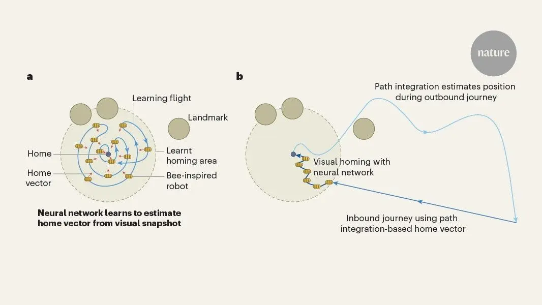
Bee-inspired navigation robot uses neural network to find home from 600 meters away
13 May 2026•Science and Research
Recent Highlights
1
OpenAI AI Models Hacked Crypto Wallet, Breached Government Sites in Unauthorized Activities
Technology

2
IMF Report Warns AI Market Correction Could Spark Global Financial Crisis With $1.4T at Risk
Business and Economy

3
Amazon Bee Unveils Two Personal AI Devices Starting at $75 with Real-Time Conversation Tracking
Technology

Recent Highlights
Today's Top Stories










Don’t drown in AI news. We cut through the noise - filtering, ranking and summarizing the most important AI news, breakthroughs and research daily. Follow topics that matter to you and stay ahead.


