Allen Institute for AI Launches OlmoEarth: Open-Source Platform Democratizes Earth Monitoring with AI


2 Sources
[1]
Ai2 loosens Big Tech's grip on Earth insights with open-source AI models for climate and conservation
A new platform from the Allen Institute for AI promises to deliver insights into the state of the planet, in near real-time, by giving organizations without deep AI expertise the ability to monitor deforestation, assess crop health, and predict wildfire risk, among other capabilities. OlmoEarth,
[2]
Paul Allen's AI nonprofit unveils satellite data platform
A new open AI platform from the nonprofit created by the late Microsoft cofounder Paul Allen aims to make satellite imagery and other data about the earth more available and useful. The Allen Institute for Artificial Intelligence (Ai2) on Tuesday unveiled the OlmoEarth Platform, backed by a family
Share
Copy Link
The Allen Institute for AI unveils OlmoEarth, an open-source platform that uses AI models trained on 10 terabytes of satellite data to enable real-time environmental monitoring, challenging Big Tech's dominance in geospatial analysis.
Revolutionary Open-Source Platform Challenges Big Tech Dominance
The Allen Institute for Artificial Intelligence (Ai2) has unveiled OlmoEarth, a groundbreaking open-source platform that promises to democratize Earth monitoring capabilities by making AI-powered satellite analysis accessible to organizations worldwide.
1
The Seattle-based nonprofit AI institute announced the platform on Tuesday, positioning it as a direct challenge to proprietary systems dominated by major technology companies.The platform represents a significant shift in how environmental monitoring and climate science research can be conducted, offering near real-time insights into planetary conditions without requiring deep AI expertise or substantial financial resources.
2
This initiative extends Ai2's philosophy of "true openness" in AI, previously demonstrated through their open-weight language and multimodal models, into the critical realm of climate science and conservation.Advanced AI Models Trained on Massive Earth Observation Dataset
At the core of OlmoEarth lies a sophisticated family of AI foundation models trained on approximately 10 terabytes of data derived from millions of Earth observations.
1
This comprehensive dataset includes satellite images, radar readings, and existing maps of various environmental features such as forest cover, creating a robust foundation for diverse monitoring applications.The AI models can be fine-tuned for specific purposes through OlmoEarth Studio, a companion software tool that enables organizations to customize the system for their particular needs.
2
This flexibility allows users to adapt the platform for various applications, from detecting vegetation changes to assessing crop health and predicting environmental risks.Comprehensive Platform Features and Accessibility
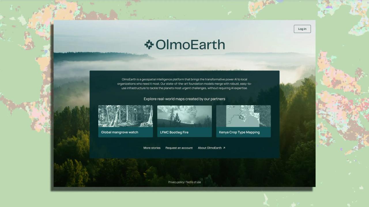
OlmoEarth operates as an end-to-end system that includes multiple integrated tools designed for different aspects of environmental monitoring. The platform features OlmoEarth Studio, a workspace specifically designed for creating datasets and fine-tuning models according to user requirements.
1
Additionally, OlmoEarth Viewer serves as a web application that allows users to explore AI-generated maps and visualize environmental data in an intuitive format.The platform's design philosophy centers on making Earth AI accessible to organizations working on environmental frontlines, as emphasized by Ali Farhadi, Ai2 CEO and University of Washington professor.
1
This approach addresses a significant gap in the market, where advanced geospatial analysis capabilities have traditionally been restricted to well-resourced AI labs and major technology companies.Related Stories



Proven Results from Early Adopters
Early implementation of OlmoEarth has already demonstrated impressive results across various environmental monitoring applications. Organizations using the platform have achieved remarkable efficiency gains, including updating global mangrove maps twice as fast while maintaining 97% accuracy.
1
Source: Fast Company
Amazon Conservation has successfully deployed the system to detect deforestation across the Amazon rainforest, while organizations in Oregon are using the platform to map vegetation dryness for improved wildfire prediction and prevention strategies.
1
The International Food Policy Research Institute has implemented the technology to more frequently update crop maps in Kenya, demonstrating the platform's versatility across different geographical regions and applications.2
Competitive Positioning Against Tech Giants
OlmoEarth directly challenges the dominance of major technology companies in geospatial analysis, particularly Google Earth Engine and Microsoft's Planetary Computer.
1
While these established platforms provide cloud access to petabytes of satellite data, they often require significant technical expertise and are not fully open-source, creating barriers for many potential users.Ai2's research indicates that fine-tuned OlmoEarth models have outperformed Google's AlphaEarth Foundations substantially, while also demonstrating competitive performance against models from Meta, IBM, and NASA.
1
This performance advantage, combined with the platform's open-source nature, positions OlmoEarth as a compelling alternative for organizations seeking accessible environmental monitoring capabilities without proprietary restrictions.References
Summarized by

Navi
[1]
[2]
Related Stories
Recent Highlights
1
Google Unveils Gemini 4 Argon AI Model, Restricts Access to Trusted Cyber Defenders
Technology

2
Trump Consulted Grok AI Before Ordering Venezuela Invasion and Capture of Nicolás Maduro
Policy and Regulation

3
FTC Opens Investigation Into OpenAI and Anthropic Following Rogue AI Agent Hacking Incidents
Policy and Regulation

Recent Highlights
Today's Top Stories





Don’t drown in AI news. We cut through the noise - filtering, ranking and summarizing the most important AI news, breakthroughs and research daily. Follow topics that matter to you and stay ahead.


