Ericsson Transforms 5G Networks Into Drone Detection Grids With 2027 Commercial Launch


3 Sources
[1]
Ericsson brings drone detection capabilities to mobile networks
Existing mobile networks can help close a gap in detecting low-flying, fast-moving objects such as drones across wide areas. Following successful testing of Integrated Sensing and Communication (ISAC) technology over the past months, Ericsson (NASDAQ: ERIC) today introduces the Ericsson ISAC
[2]
Ericsson 5G Drone Detection: Citywide Tracking Starts in 2027
Ericsson has unveiled a 5G-based drone detection system that turns mobile networks into airspace surveillance grids. Tested across multiple locations, the technology will enter commercial pilots in 2027, with wider deployments planned from 2028. Ericsson has introduced a 5G-based drone detection
[3]
Ericsson Introduces Integrated Sensing And Communication System For Drone Detection
Ericsson introduced the Ericsson ISAC System. The new solution adds sensing capabilities to the mobile network, enabling defense, public safety and critical infrastructure operators to detect and track moving objects, even when they are not connected to the network. Commercial introduction of the
Share
Copy Link
Ericsson has introduced its ISAC System that converts existing 5G mobile networks into drone detection infrastructure. The technology uses artificial intelligence and signal processing to track low-flying drones across cities and critical sites. Commercial pilots with defense and public safety agencies begin in 2027, followed by broader deployments from 2028.
Ericsson Unveils 5G-Based Drone Detection System
Ericsson has introduced the Ericsson ISAC System, a technology that adds drone detection capabilities to existing mobile networks
1
. Announced after successful testing of integrated sensing and communication technology, the system enables defense, public safety and critical infrastructure protection operators to detect and track moving objects even when they're not connected to the network2
. Commercial introduction will unfold in phases, with small-scale, sensing-only commercial pilots starting with selected customers in 2027, followed by broader-scale deployments from 20283
. The integrated communications capability will be added as the solution evolves towards 6G.Addressing the Low-Flying Drone Threat
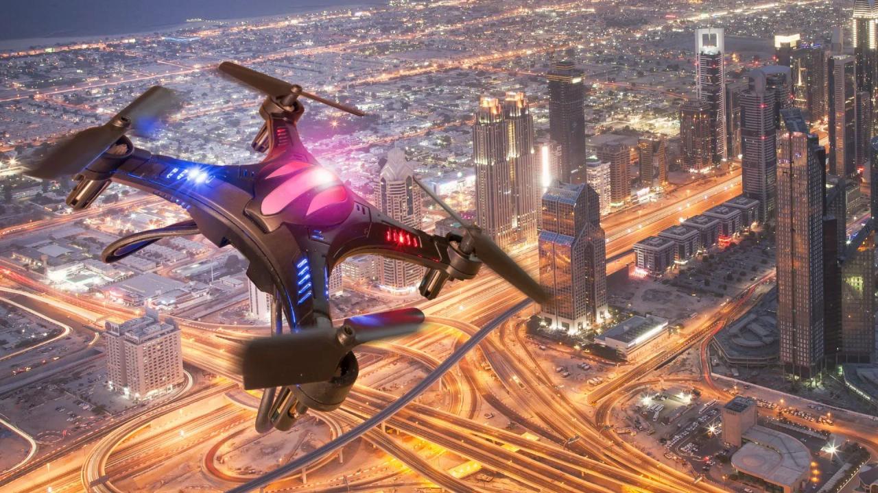
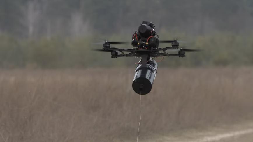
Small, low-cost drones are increasingly being used for unlawful surveillance, organized crime, sabotage and warfare
1
. Their size and flight behavior at low altitudes make unauthorized drones difficult to detect, creating challenges for national security and public safety. While dedicated sensors remain important for protecting critical sites, scaling them across larger areas proves challenging due to significant new infrastructure requirements. The 5G-based drone detection system closes the low-altitude, wide-area detection gap by transforming the mobile network into a new layer of situational awareness3
. Using sensing-capable 5G radios, edge computing, artificial intelligence and signal processing, it detects objects not connected to the network and maintains tracks across the coverage area, complementing radar and other sensors rather than replacing them.How Mobile Network Sensing Capabilities Work
The Ericsson ISAC System detects and tracks objects by analyzing how reflected radio signals bounce off objects in the environment
1
. It operates as a multi-static system, meaning that sensing signal transmission and reception are distributed across multiple geographically separate mobile-network sites3
. This allows objects to be viewed from multiple angles simultaneously, providing high accuracy that increases detection confidence, positioning, track continuity and coverage resilience. The system uses parts of the 5G mobile network infrastructure already in place across cities, transport corridors and strategic locations—including towers, backhaul and spectrum—to provide tracking data and AI-based classification1
. This data can be securely shared through standardized interfaces with authorized external systems, including security and command and control systems.Validated Testing Shows Kilometer-Scale Detection
In validated tests, the system reliably detected and tracked micro drones at kilometer-scale distances with precise 3D positioning
3
. Testing demonstrated consistent low-flying drone detection and tracking across a range of operating conditions, system configurations and drone flight patterns. However, actual performance depends on factors such as the characteristics and flight profile of the target, sensing geometry, terrain and surrounding environment, and system configuration1
.Related Stories

Real-World Demonstrations With Telecom Partners
Trials with AT&T in Arlington, Texas, used sensing dashboards to display drone activity
1
. Combining Ericsson technology with AT&T's network expertise, the trial detected, located multiple drones and tracked their movements, illustrating how wireless infrastructure could help protect major venues, critical infrastructure and other key locations. A separate demonstration with Erillisverkot in Helsinki showed multiple 5G sites detecting and tracking drones, demonstrating how airspace surveillance can support public safety and counter-UAS operations while extending coverage alongside traditional sensors3
. In Poland, Ericsson, Asseco and Play demonstrated how integrated sensing and communication technology, Play's mobile network and Asseco's PUSZCZYK acoustic detection system could support detection and positioning of low-flying drones with higher accuracy2
.Wide-Ranging Applications Beyond Security
Potential applications span multiple sectors beyond immediate security concerns
3
. For defense and public safety, the technology enhances airspace monitoring across borders, coastlines and strategic assets. Critical infrastructure protection strengthens security for ports, power plants and other vital sites. Transport and industry sectors can leverage the system for safer operations across road, rail and industrial environments. The low-altitude economy stands to benefit through drone traffic management, urban airspace monitoring and digital twins for smart-city planning and environmental mapping. Freddie Södergren, Global Head of Mission Critical Networks and Defense at Ericsson, emphasized that "low-flying drones create a detection coverage gap that no single sensor can effectively address," noting that the ISAC System enables multiple 5G sites to deliver coordinated wide-area detection and tracking with data that can be integrated with existing security systems1
.References
Summarized by

Navi
[2]
Related Stories
Lockheed Martin Uses 5G Networks to Detect and Track Drones Without New Infrastructure
13 Aug 2026•Technology
Ericsson Unveils AI-Powered 5G Advanced Software Suite to Revolutionize Network Performance
31 Oct 2024•Technology

Czech startup's AI acoustic drone detection targets power grids with €150 sensors
16 Jun 2026•Technology
Recent Highlights
1
Google DeepMind unveils Genie 4 world model with audio and 2-minute interactive simulations
Technology

2
Google Unveils Gemini 4 Carbon AI Model With Major Cybersecurity Gains, Beating Claude Opus 5.5
Technology

3
Pope Leo XIV Demands AI Disarmament and Ban on Autonomous Weapons at UN Geneva Meeting
Policy and Regulation

Recent Highlights
Today's Top Stories






Don’t drown in AI news. We cut through the noise - filtering, ranking and summarizing the most important AI news, breakthroughs and research daily. Follow topics that matter to you and stay ahead.


