Spain's Xoople raises $130 million Series B to map the Earth for AI, reaching unicorn status


2 Sources
[1]
Spain's Xoople raises $130 million Series B to map the Earth for AI | TechCrunch
Space data companies have argued for years that the private sector needs their products, but the real uptake has been from government buyers. Now, with artificial intelligence top of mind for business, one Spanish startup is trying to become the go-to source of ground truth for enterprise. Xoople
[2]
Spain's Xoople raises $130mn to build the data infrastructure AI needs to understand Earth
In short: Xoople, a Madrid-based geospatial data company founded in 2019, has raised a $130 million Series B led by Nazca Capital, bringing its total funding to $225 million and pushing its valuation into unicorn territory. The round was co-invested by MCH Private Equity, CDTI (the Spanish
Share
Copy Link
Madrid-based geospatial data company Xoople has raised $130 million in Series B funding led by Nazca Capital, bringing total funding to $225 million and pushing its valuation into unicorn territory. The company is building a satellite constellation with L3Harris Technologies to deliver Earth surface data designed specifically for AI models, targeting enterprise platforms like Microsoft Azure and Esri.
Xoople Secures Major Series B Funding to Build AI-Native Earth Intelligence Platform
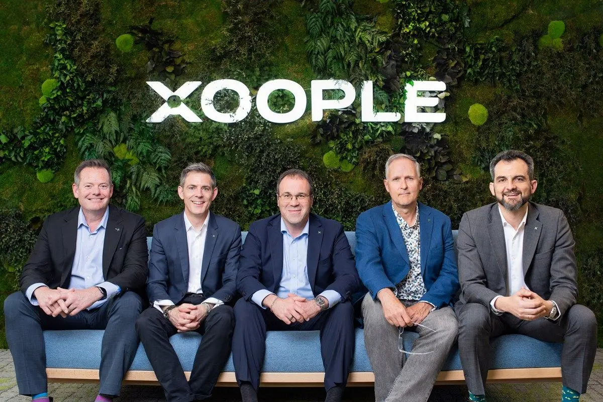
Madrid-based Xoople has closed a $130 million Series B funding round led by Nazca Capital, marking a significant milestone for the geospatial data company founded in 2019
1
. The round, which included participation from MCH Private Equity, CDTI (the Spanish government's technology development fund), Buenavista Equity Partners, and Endeavor Catalyst, brings the company's total funding to $225 million2
. CEO and co-founder Fabrizio Pirondini confirmed that the company has achieved unicorn status, though he declined to share the precise valuation1
.
Source: TechCrunch
Partnership with L3Harris Technologies to Launch Satellite Constellation
Alongside the Series B funding announcement, Xoople revealed a partnership with U.S. space and defense contractor L3Harris Technologies to design and manufacture sensors for its own satellite constellation
1
. The sensors will collect optical data designed to produce "a stream of data that is going to be two orders of magnitude better than existing monitoring systems," Pirondini told TechCrunch2
. L3Harris Technologies has built some of the most advanced commercial imaging systems currently on orbit, though Pirondini wouldn't disclose details about how many satellites the company plans to build1
. This partnership represents Xoople's transition from relying on publicly available data to operating its own proprietary data infrastructure.Building AI-Ready Datasets Through Strategic Enterprise Integration
Xoople has spent seven years developing its tech stack around data collected by government spacecraft, including the European Space Agency's Sentinel-2, while simultaneously integrating with cloud providers
1
. The company's EarthAI platform, built on Microsoft Azure and distributed through Microsoft and Esri, delivers continuous surface intelligence for insurers, farmers, governments, and infrastructure operators2
. Rather than producing point-in-time images for human review, EarthAI streams a persistent, structured view of the planet's surface into deep learning models that require regular, reliable ground truth2
. This focus on data quality and continuity distinguishes Xoople's approach in mapping the Earth for AI applications.Enterprise AI Applications Span Multiple Industries
The company's business model centers on embedding its data and solutions directly into enterprise platforms so they can provide services to their customers, Pirondini explained
1
. For agriculture, EarthAI provides early detection of crop stress, monitors soil health and water conditions, and generates data enabling farmers to participate in carbon credit markets2
. Insurance companies use it for more precise climate risk pricing and real-time verification of natural disaster claims. Infrastructure operators monitor physical assets for signs of stress or degradation before failures occur, while government agencies track transportation networks, damage from natural disasters, emergency planning, and environmental enforcement1
2
. These enterprise AI applications demonstrate the platform's versatility in delivering high-quality Earth surface intelligence across sectors.Related Stories

Competing in a Crowded Earth Observation Market
Xoople enters a competitive landscape that includes established players like Vantor, Planet, BlackSky, and Airbus in Europe, all of which already operate satellites on orbit and are developing AI-focused datasets
1
. Aravind Ravichandran, CEO of Earth observation sector consultancy TerraWatch Space, noted that Xoople's strategic sequencing is unusual. "They laid the distribution pipes before having their own data supply -- embedding into Microsoft and Esri, the two platforms where enterprise, government and most GIS buyers already live, but neither has proprietary EO data," Ravichandran said, adding that "Google's head start on geospatial AI models is the benchmark they'll be measured against"1
. This distribution-first approach represents a key differentiator for the geospatial data company as it works to establish itself in Earth observation.Building Earth's System of Record for AI Models
Pirondini's vision extends beyond simply providing satellite imagery. The company aims to build "Earth's System of Record," a project he expects will ultimately include developing a true AI world model alongside partners
1
. The platform is designed for change detection, risk prediction, and environmental monitoring, ingesting continuous surface data and processing it into formats optimized for machine learning rather than adapted from workflows built for human analysts2
. While it remains unclear what balance Xoople will strike between providing raw AI data and developing its own analysis tools, the company's focus on creating an AI-native data layer for the Earth's surface positions it at the intersection of science, data, and infrastructure where capital has accelerated considerably over the past year2
.References
Summarized by

Navi
Related Stories
Multiverse Computing targets $570M Series C to shrink AI models and slash inference costs
27 Jul 2026•Startups

E-scooter founder raises $5M to build space data centers for AI compute in low Earth orbit
09 Jun 2026•Technology

Starcloud raises $170 million to build AI data centers in space, reaching unicorn status
30 Mar 2026•Startups
Recent Highlights


Recent Highlights
Today's Top Stories







Don’t drown in AI news. We cut through the noise - filtering, ranking and summarizing the most important AI news, breakthroughs and research daily. Follow topics that matter to you and stay ahead.


