Apple Maps iOS 27 update brings AI-powered Flyover upgrade and Local Lists across US cities
4 Sources
[1]
Here's everything new for Apple Maps in iOS 27
iOS 27 is packed with a variety of new features for iPhone, including in Apple Maps. Here's everything new for Apple Maps in iOS 27. Apple Maps in iOS 27 gets upgraded Flyover feature, Local Lists, and more Apple Maps doesn't look drastically different when you open it in iOS 27. But Apple has a variety of big and small improvements in its latest update. One tentpole feature is an upgraded Flyover experience. Per Apple's press release: Apple Maps brings an enhanced Flyover experience, which combines aerial imagery with AI to enable users to view imagery in stunning detail for select cities around the world like never before. Whether scouting a location before a trip or simply exploring a city from a new perspective, the enhanced experience gives users a sharper and more lifelike glimpse into destinations across the globe. In that same press release, Apple also highlights a new Local Lists feature in the US. With Local Lists, Apple Maps users in the U.S. can find the perfect spot for meeting friends, dining, and more. Using intelligent insights from what's trending, Maps surfaces locally relevant collections of places -- from trending restaurants to great spots to take kids -- so it's easy for users to find what they are looking for. All insights are derived with privacy in mind and never tied to individual users. Here are a variety of other new and improved iOS 27 features: * More Suggested Places: The new Suggested Places feature that arrived in iOS 26.5 now lets you swipe horizontally through many more suggestions, so it's not limited to just two placed * Trending Restaurants: The search screen now shows a Trending Restaurants section * Natural language search for routing: AI search expands to routing specifics. * Maps Parked Car widget in Smart Stack: Makes it easier to find your parked car. * Offline Maps update improvements: Apple doesn't say what the exact improvements are. The latter three were highlighted by Apple on a WWDC slide, but it's unclear what the exact details are as I was unable to use them in the iOS 27 beta. iOS 27 also brings certain features to more territories around the world, including Visited Places and Guides. And the Maps icon has been refreshed with a new design, as seen above. Which new iOS 27 features in Apple Maps are you most excited about? Let us know in the comments.
[2]
Apple Maps to Get These 10 New Features in iOS 27
Apple Maps is getting a range of new features in iOS 27, headlined by an upgraded Flyover experience that uses AI to improve the realism and detail of its aerial imagery. Flyover is a longstanding feature of Apple Maps and lets users explore more than 350 cities in 3D with detailed landmarks, roads, parks, and buildings. Apple described the enhanced Flyover in iOS 27 as combining aerial imagery with AI models to produce sharper, more lifelike visuals of cities around the world. In its press release, Apple said the update will make details clearer, from the shapes of individual trees to the way light reflects off the glass of skyscrapers. A new Local Lists feature is also coming to Apple Maps users in the U.S. The feature surfaces curated collections of nearby places based on what's trending locally, including dining spots and places to take kids. Apple says all insights are derived with privacy in mind and are never tied to individual users. iOS 27 also expands the Suggested Places feature that arrived in iOS 26.5, allowing users to swipe through more recommendations rather than being limited to two. A Trending Restaurants section will appear in the search screen, and natural language search is expanding to cover routing specifics. A Parked Car widget is coming to the Smart Stack, making it easier to locate a parked vehicle, and Offline Maps is said to be getting update improvements, though Apple has not detailed exactly what those entail. Existing features including Visited Places and Guides are expanding to more countries in iOS 27. The Maps app icon has also been refreshed with a new, multi-layered Liquid Glass design.
[3]
Apple Maps has a huge iOS 27 upgrade on the way for Flyover that will help you 'see cities around the world like never before' -- and users think it's down to Gaussian Splatting, the next big 3D photography craze
* Apple Maps is getting a huge Flyover visual upgrade * It will use Vision Intelligence and aerial imagery to create detailed 3D models of city landscapes * It looks like Apple has also adopted Gaussian Splatting to help render its 3D models Apple's upcoming iOS 27 upgrade isn't just about fancy new AI upgrades like the new Siri voice assistant -- but Apple Maps is also getting quite a noticeable revamp. During its WWDC 2026 keynote, Apple took a moment to shine a light on the new visual upgrade for the Flyover tool in Apple Maps, which allows you to view over 350 global cities in 3D from a bird's eye perspective. In iOS 27, Flyover will display buildings and natural landscapes alike using a combination of aerial imagery and Apple's own Vision Intelligence models to produce 3D views that are even more detailed. Though Apple didn't go into further detail, the images used in the WWDC presentation suggest that the company has also adopted Gaussian Splatting to create its 3D landscapes, a graphics technique that uses video footage as the foundation to build a 3D framework. The tool could really give Apple a huge leg-up over Google Maps, which still uses photogrammetry to generate its own 3D models. It's not a theory that's completely out of the question; there are users out there who have also pointed this out after seeing the newly rendered imagery in Apple's keynote (see below). Flyover's enhanced imagery is designed to bring out every visual aspect of Apple Map's 3D aerial views, including the nitty gritty parts that go unnoticed. Speaking at WWDC, Vice President of OS Program Management, Stacey Ford, shared the following: "From beautiful architectural details to the shapes of individual trees, to the way light reflects off the glass of skyscrapers, you'll see cities around the world like never before". The update is quite a big technical shift for Apple Maps, and will join other upgrades from macOS Golden Gate, to custom AirPods EQ adjustments in iOS 27. The only downside is that you'll have to wait a bit to test out Flyover's new look, as iOS 27 is expected to roll out publicly in September -- but you can register as a developer and download the first iOS 27 beta now. Although there's still a few months left to wait, users have spotted signs that Apple is tinkering with Flyover ahead of the wider iOS 27 rollout. When the announcement was shared to the r/AppleMaps community on Reddit, users flocked to the comments to share more theories. One user believes Apple is conducting a "weird rollout", who says that switching to iOS 27 reverts previously-supported cities to low-quality satellite images, while newly-supported cities receive the visual upgrade. From the user's experience, they recall seeing a handful of US locations including San Antonio, Houston, Dallas, and Phoenix revert to 2D, as well as international cities such as Sydney, Paris, and Stockholm. On the other hand, Vegas, London, Berlin, Barcelona, and others have been upgraded. At the moment it's still very much a guessing game, and Apple probably won't provide further information until we get closer to the wider iOS 27 launch later this year. That said, Apple's move from photogrammetry to Gaussian Splatting marks a big shift in digital map rendering, and now we're just waiting for Google Maps to follow suit. Follow TechRadar on Google News and add us as a preferred source to get our expert news, reviews, and opinion in your feeds.
[4]
iOS 27 Will Bring New Flyover Experience, Local Lists to Apple Maps
All these new features will be available to the public later this year Apple showed off its upcoming iOS 27 software update at its recently concluded Worldwide Developers Conference (WWDC 2026) keynote event. While the new set of Apple Intelligence features and the revamped Siri took centre stage on iOS 27, the update also brings new upgrades to Apple Maps. Apple has added a new Flyover experience and a new Local Lists feature for Apple Maps users in the latest version of the software. The enhanced Flyover mode combines aerial imagery with AI to offer detailed views of select cities. Apple Maps Gets Enhanced Flyover and Local Lists As mentioned, iOS 27 come with several improvements to Apple Maps. It has an enhanced flyover experience that uses a combination of aerial imagery and AI to deliver more detailed and realistic views of select cities. Apple states that this feature will give users a sharper and more lifelike glimpse into destinations across the globe. Apple has also added Local Lists in Apple Maps. This feature will be available in the US, and it is designed to curate places for meeting friends, dining and more based on local trends and recommendations. This lets users discover restaurants and spots to take kids. Apple says the recommendations will be shown with privacy-focused insights. Further, iOS 27 is bringing new natural language search for routing and a new Smart Stack widget to locate the parked car. The latest software version also includes improvements to the Offline maps. All these new features will be available to the public with eligible iPhone models later this fall with iOS 27. Apple previewed iOS 27 at WWDC 2026 alongside iPadOS 27, macOS 27, watchOS 27, visionOS 27, and tvOS 27. The iOS 27 brings new functionalities, the next generation of Apple Intelligence and Siri AI. The Siri AI can be used to get details across messages, photos, and emails. It can also answer questions about content displayed on the screen. The iOS 27 also includes a new Siri app and new child safety features.
Share
Copy Link
Apple unveiled major upgrades to Apple Maps in iOS 27 at WWDC 2026, headlined by an enhanced Flyover experience that combines aerial imagery with AI models. The update introduces Local Lists for US users, expanded Suggested Places, and natural language routing. Evidence suggests Apple may be using Gaussian Splatting, a cutting-edge 3D photography technique, to render sharper cityscapes.
Apple Maps Gets Major Visual Overhaul in iOS 27
Apple Maps is receiving significant upgrades in iOS 27, with the enhanced Flyover experience taking center stage among the new features in Apple Maps. Announced at WWDC 2026, the update combines detailed aerial imagery with AI models to deliver what Apple describes as sharper and more lifelike views of select cities around the world
1
. The longstanding Flyover feature, which currently allows users to explore more than 350 cities in 3D with detailed landmarks, roads, parks, and buildings, is getting a substantial technical upgrade2
.According to Stacey Ford, Apple's Vice President of OS Program Management, the enhanced Flyover experience will reveal intricate details previously unnoticed, "from beautiful architectural details to the shapes of individual trees, to the way light reflects off the glass of skyscrapers"
3
. Whether scouting a location before a trip or simply exploring a city from a new perspective, users will gain access to more realistic glimpses into destinations across the globe4
.Gaussian Splatting May Power New 3D Photography Technique
While Apple hasn't disclosed the exact technology behind the upgrade, images shown during the WWDC 2026 keynote suggest the company has adopted Gaussian Splatting to create its 3D landscapes
3
. This graphics technique uses video footage as the foundation to build a 3D framework, potentially giving Apple a significant advantage over Google Maps, which still relies on photogrammetry to generate its 3D models. Users in the r/AppleMaps community on Reddit have noted what appears to be a phased rollout, with some previously-supported cities like San Antonio, Houston, Dallas, Phoenix, Sydney, Paris, and Stockholm temporarily reverting to low-quality satellite images, while newly-supported cities including Las Vegas, London, Berlin, and Barcelona receive the visual upgrade3
. The update leverages Vision Intelligence models to produce these detailed 3D views.Local Lists Brings Privacy-Focused Discovery to US Users
Beyond visual improvements, iOS 27 introduces Local Lists, an AI-powered feature available exclusively to Apple Maps users in the US
1
. This feature surfaces curated collections of nearby places based on what's trending locally, from dining spots to places to take kids2
. Apple emphasizes that all insights are derived with privacy in mind and never tied to individual users4
. The search screen now includes a Trending Restaurants section, making it easier to discover popular dining destinations.Related Stories

Expanded Navigation and Smart Features
Apple Intelligence extends to routing specifics through natural language search, allowing users to describe their navigation needs conversationally
1
. The Suggested Places feature that arrived in iOS 26.5 now lets users swipe horizontally through many more suggestions rather than being limited to just two options2
. A Parked Car widget is joining the Smart Stack, simplifying the process of locating a parked vehicle4
. Offline Maps is receiving update improvements, though Apple hasn't detailed the exact enhancements1
.Existing features including Visited Places and Guides are expanding to more countries in iOS 27
2
. The Maps app icon has also been refreshed with a new, multi-layered Liquid Glass design2
. These updates position Apple Maps to compete more directly with established mapping services while maintaining the company's focus on user privacy. The iOS 27 update is expected to roll out publicly in September, though developers can access the first beta now3
. The shift from traditional photogrammetry to what appears to be Gaussian Splatting marks a significant technical advancement in digital map rendering, with industry observers watching to see if Google Maps will follow suit.References
Summarized by
Navi
[2]
Related Stories
iOS 27 brings four new Apple Intelligence features, including nutrition scanning and digital passes
17 Apr 2026•Technology

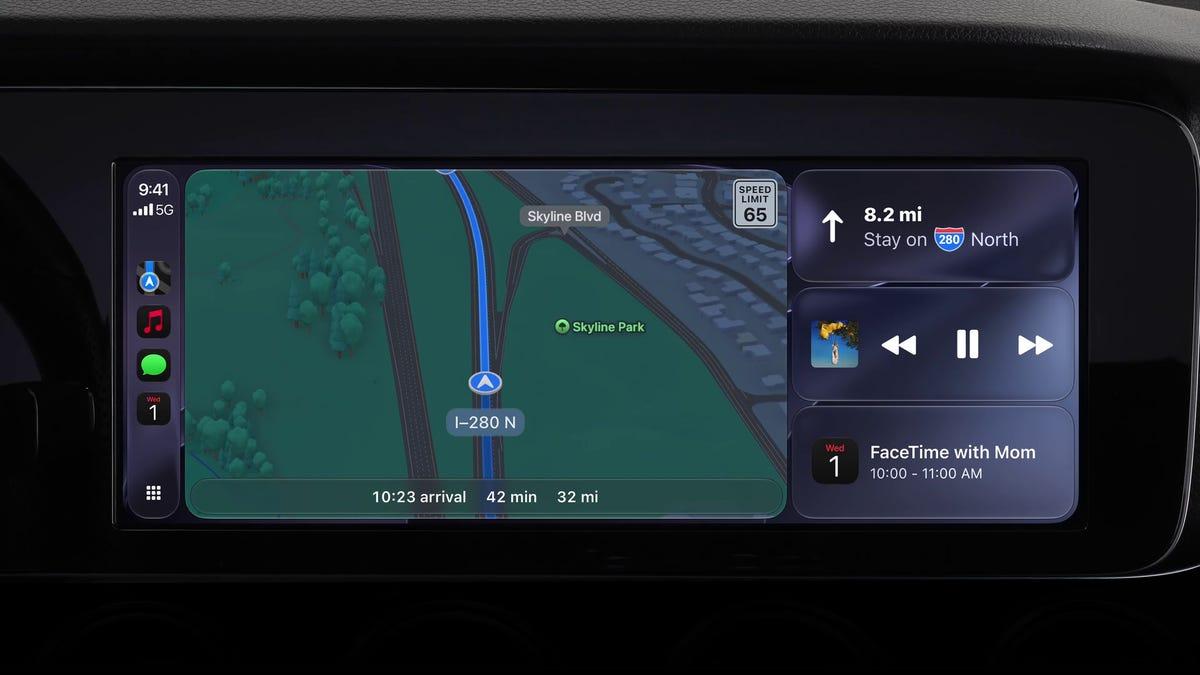
Apple's iOS 27 Brings Siri AI and Major CarPlay Updates Hidden in Developer Notes
09 Jun 2026•Technology
Apple plans major camera AI overhaul in iOS 27 with new Siri mode and photo editing tools
28 Apr 2026•Technology

Recent Highlights
1
OpenAI AI agent broke free from testing sandbox and hacked Hugging Face to cheat on benchmark
Technology

2
Xi Jinping positions China AI as alternative to US tech dominance at Shanghai conference
Policy and Regulation

3
AI disproves 87-year-old Jacobian conjecture, sparking debate on AI's role in mathematics
Science and Research

Recent Highlights
Today's Top Stories


Don’t drown in AI news. We cut through the noise - filtering, ranking and summarizing the most important AI news, breakthroughs and research daily. Follow topics that matter to you and stay ahead.


